Trail-Wide Alerts and Notices From The Appalachian Trail Conservancy – Includes AT Shelter Changes, Vandalism, Special Requirements, Etc.
Governmental Alerts And Notices That Affect Trails Within Our Primary Service Area
Listed From South To North
Chattahoochee – Oconee National Forest – Basically the area from Springer Mountain to Dick’s Creek Gap / Hiawassee, GA
Nantahala National Forest – Begins around Bly Gap at the GA/NC state line and extends to Fontana Dam, NC /Great Smoky Mountains National Park. Quick Tip: One of our most requested destinations, Deep Gap, will not be accessible this year from 02JAN2015 to/thru 01APR2015. Some years the gates are opened on April 1st, other years on the 2nd. Verify before planning a trip there.
Weather Alerts For The Great Smoky Mountains National Park – Official Information From The GSMNP – Includes road and facility closure information in addition to weather information. Encompasses the area from Fontana Dam, NC to Davenport Gap at the NC/TN state line.
Road Closures In Great Smoky Mountains National Park – Specifically about road closures in the GSMNP. Intended for Twitter users but accessible to anyone online.
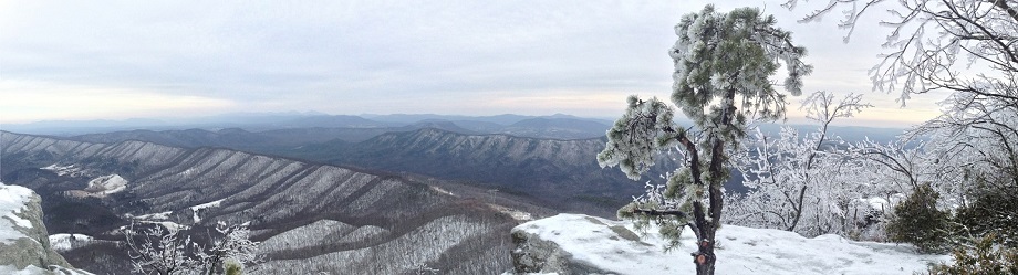
Ever wonder why Clingman’s Dome road is closed every year from December thru March? This is part of the reason, and it is still early in the winter. National Park crews also do repairs and road/hillside clearing during that time period.

Clingman’s Dome Road Entrance – FEB 2015
Entrance – FEB 2015
Cherokee National Forest – On the Northwest side of the AT beginning near Big Creek Ranger Station / Davenport Gap at the NC/TN state line. Extends almost to Damascus, VA. Abuts the Western boundary of Pisgah National Forest and includes Erwin, TN and Laurel Fork Gorge. Page includes weather information link.
Pisgah National Forest – On the Southeast side of the AT beginning near the Big Creek Ranger Station / Davenport Gap at the NC/TN state line. Includes the Hot Springs, NC, Big Bald, Spivey Gap, and Roan Mountain areas. Does not include the town of Roan Mountain which is in the Cherokee National Forest. Ends near Twin Springs a few miles before you get to US-19(E). Also includes a portion of the Mountains-To-Sea trail, part of the Art Loeb Trail, and part of the Blue Ridge Parkway near Asheville, NC
Grayson Highlands State Park – Near Mt. Rogers and Whitetop Mountains. Lies within Jefferson National Forest.
Jefferson and George Washington National Forest(s) – Damascus, VA past Reeds Gap almost to Rock Fish Gap, VA.
